Free Editable Map Vector Templates
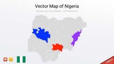
Vector Nigeria Map for PowerPoint
Map of the Nigeria with States, comes in PPTX file format.
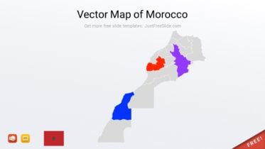
Free Vector Map of Morocco
Pre-made vector Morocco map for PowerPoint and Google Slides, PPTX file included, fully editable.
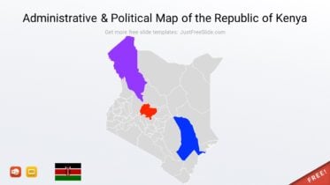
Free Kenya Vector Map for PowerPoint
Free administrative & political map of the Republic of Kenya, PPTX file, fully editable.
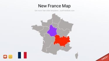
Editable New France Map for PowerPoint (13 Regions)
A vector new France map (13 regions) PowerPoint template, fully editable.
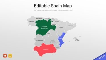
Free Editable Spain Political Map Template
Free Editable Spain Political Map for PowerPoint and Google Slides, fully editable, free download, PPTX format.
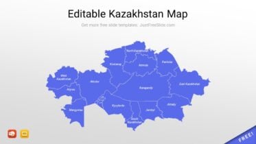
Editable Kazakhstan Map for Presentation
This template is an editable Kazakhstan map slide design. It contains an outline map of the Republic of Kazakhstan. The provinces’ names are also included in the map.
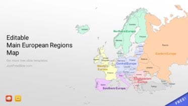
Editable Main European Regions Map For PowerPoint
This free PowerPoint template contains an editable main European regions map. It explicitly shows all countries and subregions in the European continent.
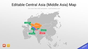
Editable Central Asia (Middle Asia) Map
This free Central Asia map offers an interactive map that allows users to customize their own maps with the data they need.
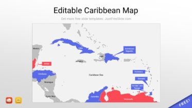
Free Editable Caribbean Map
This vector Caribbean sea map displays the geographical boundaries of the Caribbean region, including the major countries.
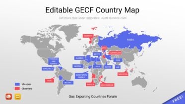
Editable GECF Country Map
This editable GECF country map ppt template displays the geographical boundaries of the Gas Exporting Countries Forum (GECF) member states.
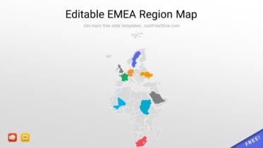
Editable EMEA Region Map
This map showcases the detailed outline of the countries of EMEA (Europe, the Middle East, and Africa).
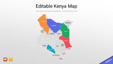
Editable Kenya Map
This FREE map shows the detailed outline of the country of Kenya, complete with its major cities and towns.
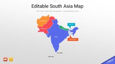
Editable South Asia Map
This map gives a precise, vector-based representation of the geography of South Asia, which include India, Pakistan, Afghanistan, Bangladesh, and other countries.
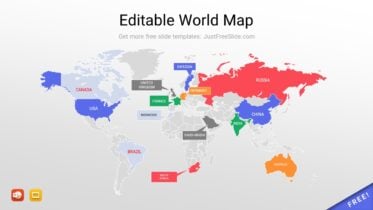
Editable World Map
A fully editable world map for PowerPoint, allows users to customize it to their needs.
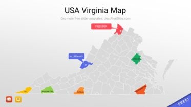
USA Virginia Map With Cities
Vector Virginia map with cities, fully editable, PPTX file included.
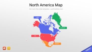
Editable North America Map for Presentation
This North America Map provides an intricate, vector-based representation of North America
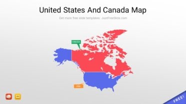
United States And Canada Map
A vector intricate map featuring the United States and Canada. The map can be used and edited as a template for PowerPoint presentations and allows users to customize it to their needs.
